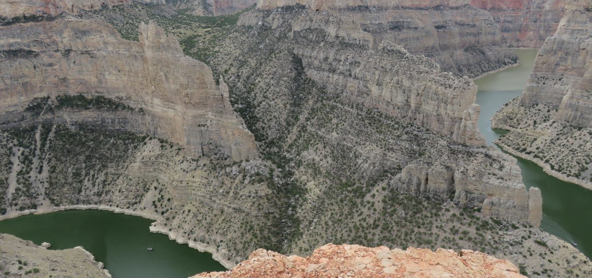
Today was partly a travel day and partly used to browse the Bighorn Canyon National Recreation Area and Little Bighorn Battlefield National Monument. Our first visit was the canyon, which was absolutely amazing. The real treat was at the Devil’s Canyon Overlook, featured in the main image above. Here’s a panorama view from that same overlook.

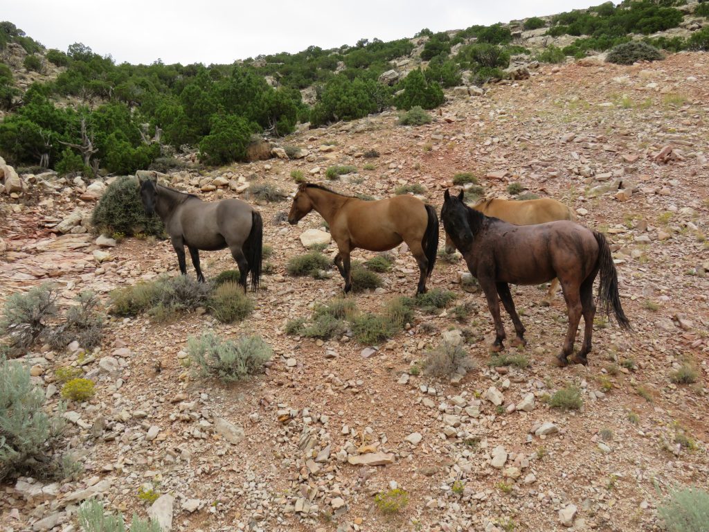
This recreation area is also home to a bunch of wild horses, of which we saw a few. This is just one of the groups of horses we saw while we were driving through the park.
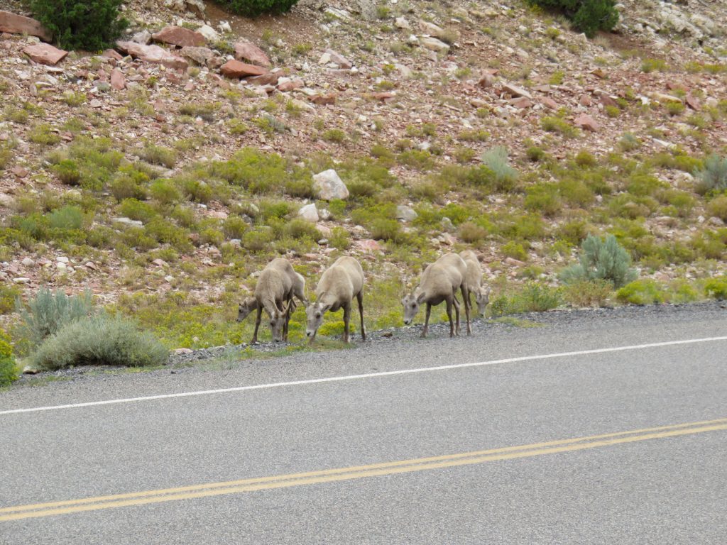
We also saw a decently sized pack of goats along the road there.
We finished driving the road through the recreation area up to the boat launch at Barry’s Landing and then turned around and headed out of the park, seeing a couple more groups of horses on the way. We then started the trek toward Little Bighorn Battlefield National Monument.
It is along this drive that I came the closest that I have ever come to running out of gas. We were towing the camper and had enough gas to reasonably make it 80 miles or so, based on past consumption, and we were really only going about 45 miles, so I didn’t think anything about it. Little did I know that we were climbing the steepest and highest climb we had faced on this trip through the Bighorn National Forest. Not only was this grade incredibly steep, but we were driving into a 40 MPH wind the whole way, too. The truck was sucking down fuel like crazy, getting probably 4 MPG at best, and this is no exaggeration given how much fuel we had left (probably 3/8 of a tank). There is no way in hell we were going to make it to the gas station that my predownloaded Google maps was aware of, not even close (about 25 miles short). We got about half way through the park and discovered a lodge at the top that sold fuel, there were actually at least 2 of such lodges that sold fuel, and it happened just as the truck was registering that there were zero miles left.
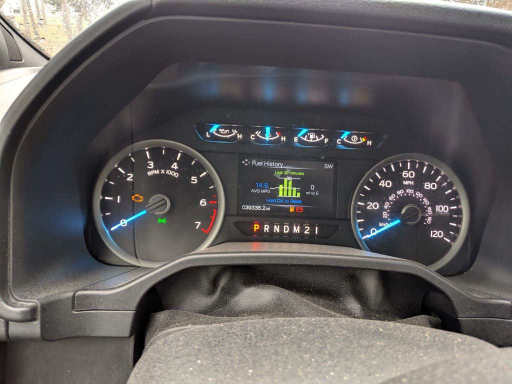
After filling up, I estimate that we had about .7 gallons of fuel left, which wouldn’t have gotten us far. I thought about bringing a gas can when we were packing up, but the space was limited, and I thought I wouldn’t really need it. I don’t think I’ll be making that call again. These were stressful times, because it was cold, very windy, and very rainy, and I didn’t want to have to go out in that to beg someone to take me to a gas station. That would have been a nightmare.
However, on our stressful Bighorn Mountain transit, we did manage to capture an amazing view of the east side valley from the mountains at one of the overlooks.

We decided to drop the trailer off at the campground before proceeding to Little Bighorn Battlefield National Monument, giving us about two and a half hours once we got there. We both felt that it was really not enough time and would recommend much more if you have it on your visit. The main attraction trail and drive both close at 5:30 PM, only 2 hours from the time we arrived, and the whole park closes at 6 PM.
We both learned a ton about the battle that occurred there, especially since this kind of thing you learn about in grade school and forget long before you’re in your 30’s. One of the things I really appreciated is their archaeological efforts and being able to pinpoint fairly precise locations where various Indians and soldiers died. Here’s the view of the grave stones near the Battle Hill monument, including General Custer’s grave (the one highlighted with black).
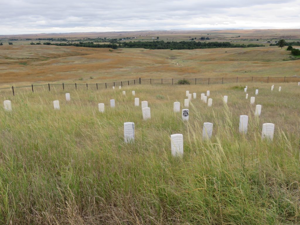
They were not just in the area surrounding the monument either. Here’s a picture of some markers out in the open where skirmishes occurred before the famed Last Stand.
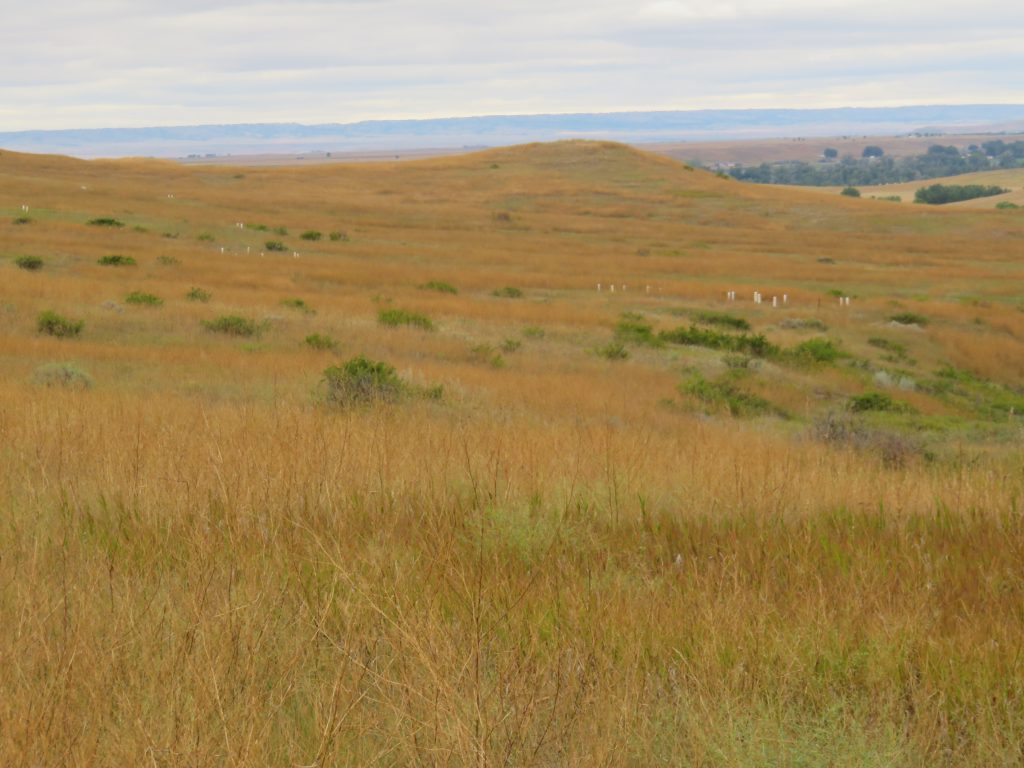
We did have an opportunity to listen to most of the audio recordings that accompanied the trails and drive through the park, which I would highly recommend if you have cell phone signal. They gave a ton of context to what you were seeing and went well beyond what was described in the plaques they had positioned in the various pull outs and places along the trails.
Once we had to leave at 6 PM, we returned to the campground and called it a day.
